Project
K5 HIKE
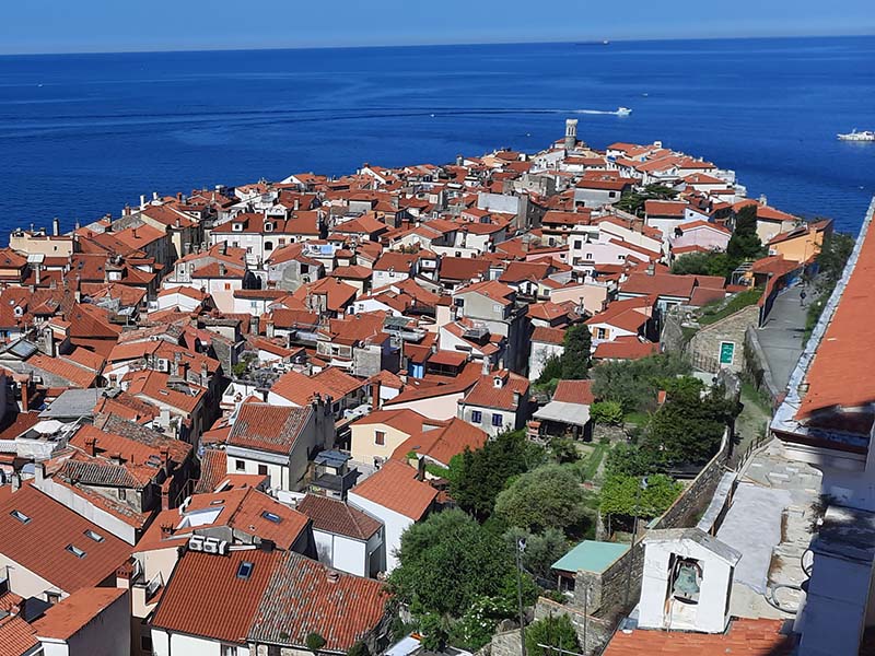
Top 5 hikes in Europe
that will change your life


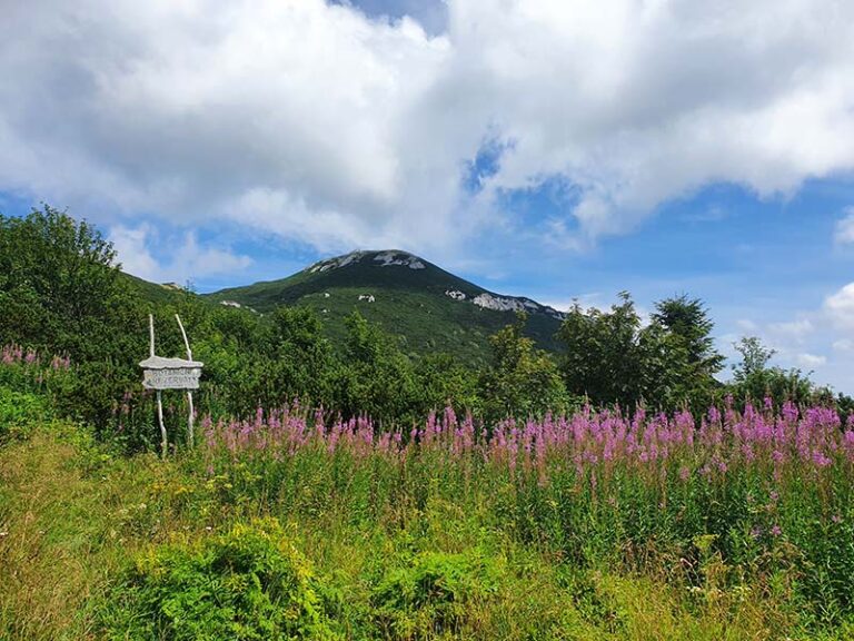
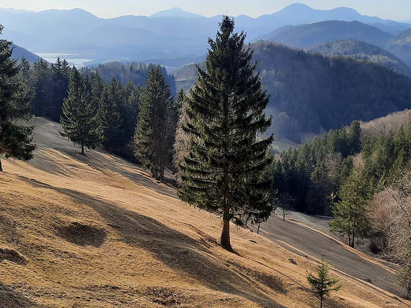
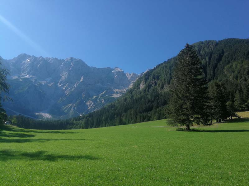
Photo of the month

FROM PROJECT SLOVENIJA360 TO THE K5HIKE PROJECT
Slovenija 360 & K5HIKE
The idea was simple and logical. During and after the Covid quarantine, a few members of the association decided to complete a circle around Slovenia in less than 360 days and cross Slovenia along its external borders. Of course, we succeeded in this to the extent that our mountaineering and hiking projects are just lining up.
Firstly, of course, we walked the entire Slovenian Mountain Trail from Maribor to Ankaran (Transverzala SPPP1) and since the goal was to return from Ankaran to Maribor via a different route, we started researching where to draw our route. And idea about K5hike was born.
K5HIKE PROJECT
Hiking trail (transversal) along the borders of Slovenia
After we walked 1378 km The Slovenia360 project could have ended, but we came up with an even more original idea: to connect the most beautiful hiking trails along the external borders of Slovenia and the other four neighbording countries: Italy, Austria, Hungary and Croatia.
Before we give the final version of the route, we will also walk these hiking trails with our friends from Italy, Austria, Hungary and Croatia. We have invited “neutral partners” from the German organization SJR Esslingen am Neckar to participate in decision making process about which route is really the right one.
But beside them we are also giving You the opportunity to participate.
We would be happy if you would send us your opinions about our current project:k5hike.eu.
“Let’s connect the most beautiful EU paths along the border between Slovenia/Italy/Austria/Hungary and Croatia” or hiking trails at info@kazipot.si
There is still time to submit your suggestion and opinion about why it would be better for the trail to run elsewhere than our team has suggested. The proposed route can be seen on the attached map and GPX tracks. We would be happy to hear your opinion, which you can submit in the following ways:

Selfie / E-stamp
E-stamp for hiking trails
Več o tem

E-graffiti
E-graffiti with geotagom
Več o tem
K5HIKE PROJECT
Connecting routes / sustainable
Real mountaineers and hikers care about nature, so we often use Public transport.
We want to connect as many wonderful connecting paths as possible to the transversals presented on Best hikes.
GPX traks hikes on K5hike
We would like to point out that GPX tracks are only used as an aid in preparing for a hike and that when orienting yourself in the field, you should always give priority to official markings and signposts! A GPX track is only a snapshot of the most suitable route at that moment.
In the event of interference in determining your location (e.g. in a dense forest…), deviations of up to several meters may occur! This is especially dangerous in poor visibility and when walking along the edges of slopes! Before hiking, check whether the route from the GPX track proposal is still passable!